By Carol Khorramchahi
A UNESCO wildlife sanctuary is being pulled into the Pacific cocaine trade, putting conservation and community life on the same collision course.
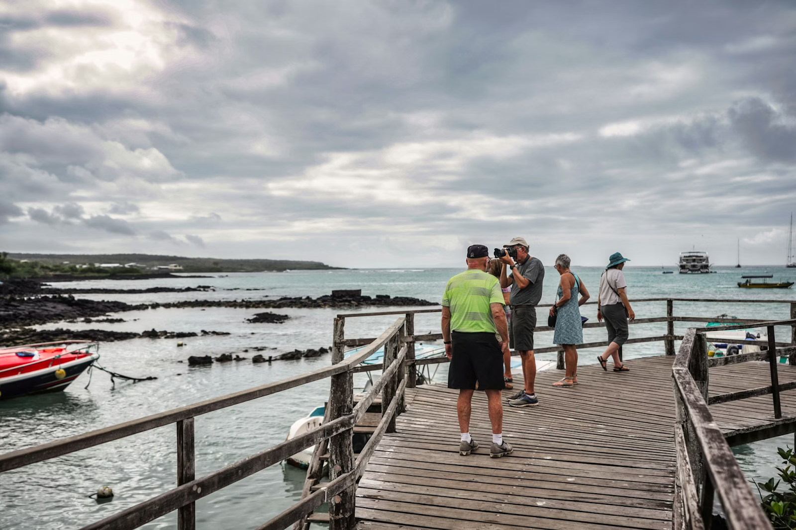
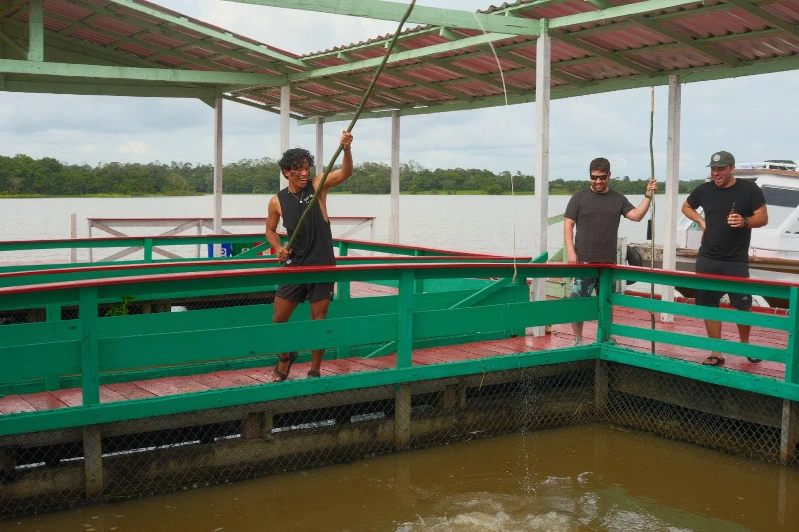
Boats docked in Santa Cruz, Ecuador. Andres Medina. Unsplash.
The Galapagos are marketed as a place outside the modern world, featuring blue water, strict park rules and animals that seem to have missed the memo about humans. UNESCO calls the islands a “living museum and showcase of evolution.”
That is the Galapagos most travelers recognize. But there is another Galapagos, quieter and more recent, shaped by the same geography that makes the islands famous. The archipelago sits deep in the eastern Pacific, far enough from the mainland to feel remote and close enough to ride along lengthy maritime routes that move north toward Central America and beyond. Trafficking networks do not need the Galapagos to be a city; they need it to be a waypoint.
In early 2026, Al Jazeera reported that the islands are increasingly being used as a refueling and staging zone for cocaine shipments moving through the Pacific, with authorities intercepting boats and searching for hidden storage points. The story lands hard because the Galapagos economy depends on tourism and regulated fishing, not on the shadow economy of organized crime. When trafficking pressure rises, the damage is not only criminal: It is social.
Part of the pull is simple distance. Long routes require fuel and logistics, and isolated stretches of ocean provide cover. A Pacific trafficking analysis by the U.N. Office on Drugs and Crime describes expanding transnational organized crime in the region and the importance of maritime routes for moving illicit drugs.
Another part is Ecuador’s wider security crisis, which is pushing criminal networks to innovate and spread. The International Crisis Group warns that Ecuador’s organized crime surge is tied to the country’s role in global cocaine flows and violent competition among criminal groups. That shift does not stay on the mainland: It radiates outward, including into strategic maritime zones.
The consequences in the Galapagos do not always look like those in Hollywood. They can look like corruption pressure on small businesses; fishermen being approached to sell information, fuel or services; authorities trying to police an enormous marine area with limited assets while also protecting one of the most sensitive ecosystems on Earth.
Officials are taking the threat seriously. In March 2025, the U.S. Embassy in Ecuador said Ambassador Art Brown visited the Galapagos and discussed security challenges, including illicit trafficking and illegal fishing, as part of coordination with local and national authorities. The U.S. Embassy has also emphasized the scale of maritime interdictions more broadly. The country’s Ministry of Defense said Ecuador seized 135 tons of drugs at sea in 2025, a record it framed as a major blow to trafficking networks.
The larger lesson is uncomfortable: Trafficking routes shift like water. When enforcement tightens in one corridor, networks test another. The Galapagos are now part of that map, and the challenge is no longer only protecting wildlife; it is protecting a community and a global treasure from being turned into infrastructure for a drug economy.
GET INVOLVED:
Support conservation and community protection efforts through the Galapagos Conservancy and the Charles Darwin Foundation. Follow organized crime and security analysis through the International Crisis Group Ecuador page and regional trafficking research through the UNODC

Carol Khorramchahi
Carol Khorramchahi is a student at Boston University, where she studies English and Psychology and minors in Journalism. She enjoys writing and reporting on stories that bring together culture, identity, and community, and has experience in both newsroom reporting and digital media. She is especially interested in thoughtful storytelling with a global lens.