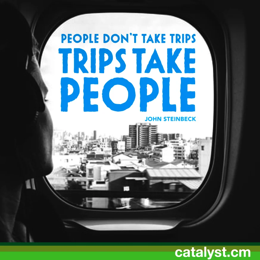

THE CURSE OF LIVING IN THE MODERN world is that evil acts are not required for evil things to happen. A mother looks away from her 3-year-old son for a few seconds, and a gorilla gets killed. Tourists see a calf that looks cold, try to help it, and inadvertently ensure its death. A 21-year-old student takes an ill-advised souvenir in North Korea and becomes an imprisoned pawn in an ongoing diplomatic fight.
Small acts can have huge repercussions, and you don’t need to act maliciously to cause serious harm. The problem, of course, is that most of this harm is caused by innocent ignorance, and human ignorance is almost limitless.
So not doing harm can seem like an uphill battle. Here are a few things you do regularly while traveling that cause more harm than you realize.
1. You wear sunscreen while swimming in the ocean.
I know: Baz Luhrmann told you to always wear sunscreen. And he wasn’t wrong: UV damage sucks, and can cause some serious health problems. But if you’re going to go swimming in the ocean, you want to make sure you’re wearing the right type of sunscreen.
Most regular sunscreens contain a chemical called oxybenzone, which can disrupt coral growth. Coral reefs are the most important aquatic ecosystems, and are dying off around the world thanks to climate change and overfishing. But oxybenzone in sunscreen isn’t helping either: a single drop of it in an Olympic swimming pool-sized body of water can have harmful effects on coral reefs. So instead, buy and use a reef-friendly sunscreen.
2. You give money to child beggars.
Helping a child is maybe one of the most noble impulses a human being can have. Unfortunately, that makes it really easy to exploit. Especially in developing countries like India, “organized begging” is a serious problem. Children are recruited by violent thugs and are forced to beg. And since disabled children make more money as beggars, the thugs will sometimes mutilate the kids. Some kids are intentionally hooked on drugs, so they won’t run away from their criminal syndicate supplier. And the money ends up in the pockets of the criminals, not helping the actual children.
Instead of giving money to kids, set aside money for a worthy organization. Here are a few that help the poor:
Oxfam
UNICEF
Population Services International
Free the Slaves
Save the Children
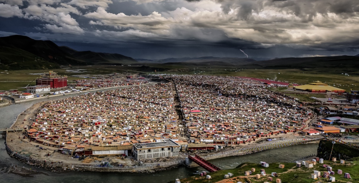
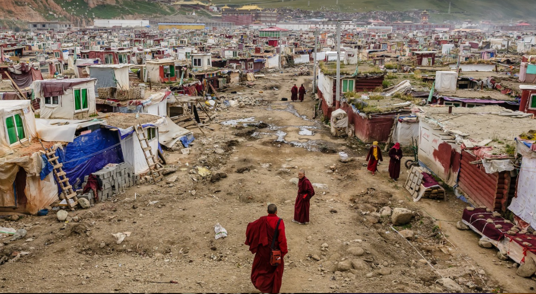
3. You participate in orphanage tourism.
Another entry in the “awful things that are done in the name of helping children” is the terrible orphanage tourism industry. This isn’t to say that orphanages that accept tourist visitors are all terrible places, but some are.
Intrepid Travel did a great piece on this a few weeks ago. They pointed out that orphanage tourism perversely makes orphans into an in-demand commodity, and that often, the kids actually have families. Orphans are not zoo animals, and in a just world, they would not be a commodity. If you really want to help, don’t feed the orphanage tourism industry.
4. You volunteer in not-very-helpful ways.
If you’re a doctor or a construction worker, you may have skills that could be very helpful in a foreign country. If you have those skills, you should volunteer abroad. But if you don’t have a very specific set of skills, then often, your help with, say, building a house, isn’t going to be all that valuable.
Voluntourism comes from a very noble impulse, but it’s super tricky. Before going abroad to volunteer, ask yourself: “Am I the best person to help out here? Am I properly trained to do this work? Will I really be helping?”
If you aren’t sure, the better choice may be to donate money instead.
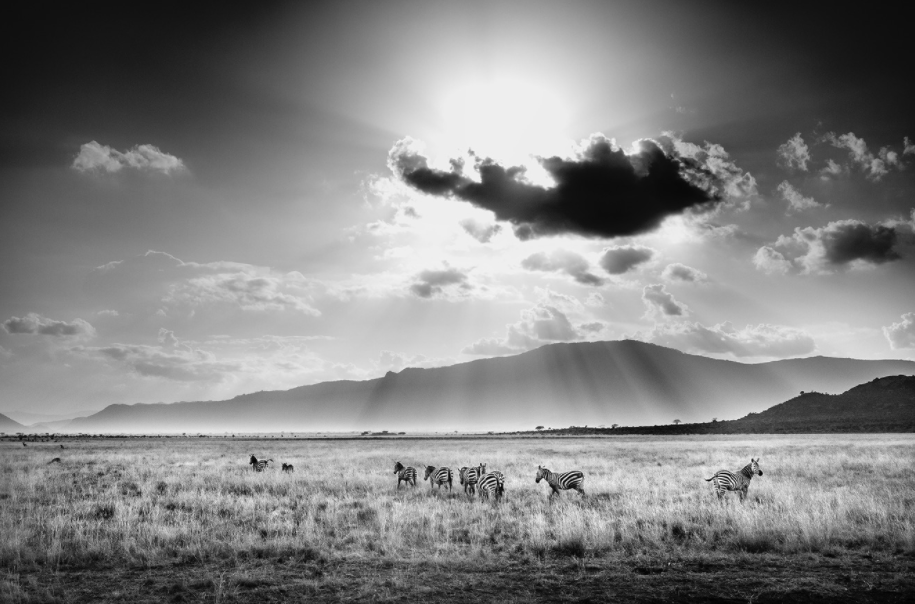
5. You go a little too far in trying to take a picture with wild animals.
2016 has been the year of the harmful animal selfie. There’s the woman who got her clock cleaned when she tried to take a picture of an elk. There are the horrifying discoveries that have accompanied the closing of Thailand’s “Tiger Temple.” And seal calfs keep getting abandoned by their mothers after tourists take selfies with them.
Look: it’s understandable. You want to take a picture with the cute animal. But there are a few simple rules you can follow if you don’t want to do harm:
Do not approach wild animals. They are wild animals, and unless you really know what you’re doing, you can harm them, and they can harm you.
If you see a tourist attraction that allows you to interact with animals that it would normally be dangerous for humans to interact with, then the animals are probably being kept sedated. So don’t hang out with lion and tiger cubs, as irresistibly cute as they may be.
If you want to see the wildlife, the best place to see it is in its natural environment. This will require that you be patient, and it may mean you don’t see everything you want to see. But it’s better for the animals, and it’s ultimately more rewarding.
Animals aren’t humans. Don’t assume that their behaviors will be the exact same as human behaviors, or that they do things for human reasons.
These aren’t the only ways in which ignorance can do a good amount of harm, but they’re a good place to start. If you want to do more good than harm when you travel, do your research ahead of time. It’s natural to want to help, but you should know how to help before you start helping. Otherwise, it’s very likely you’ll do more harm than good.
THIS ARTICLE WAS ORIGINALLY PUBLISHED ON MATADOR NETWORK.

MATT HERSHBERGER
Matt Hershberger is a writer and blogger who focuses on travel, culture, politics, and global citizenship. His hobbies include scotch consumption, profanity, and human rights activism. He lives in New Jersey with his wife and his Kindle. You can check out his work at the Matador Network, or over at his website.